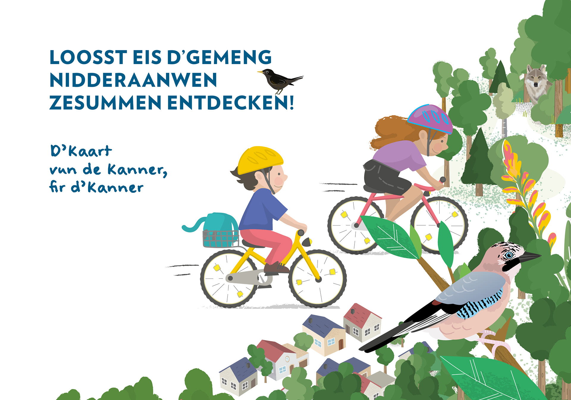
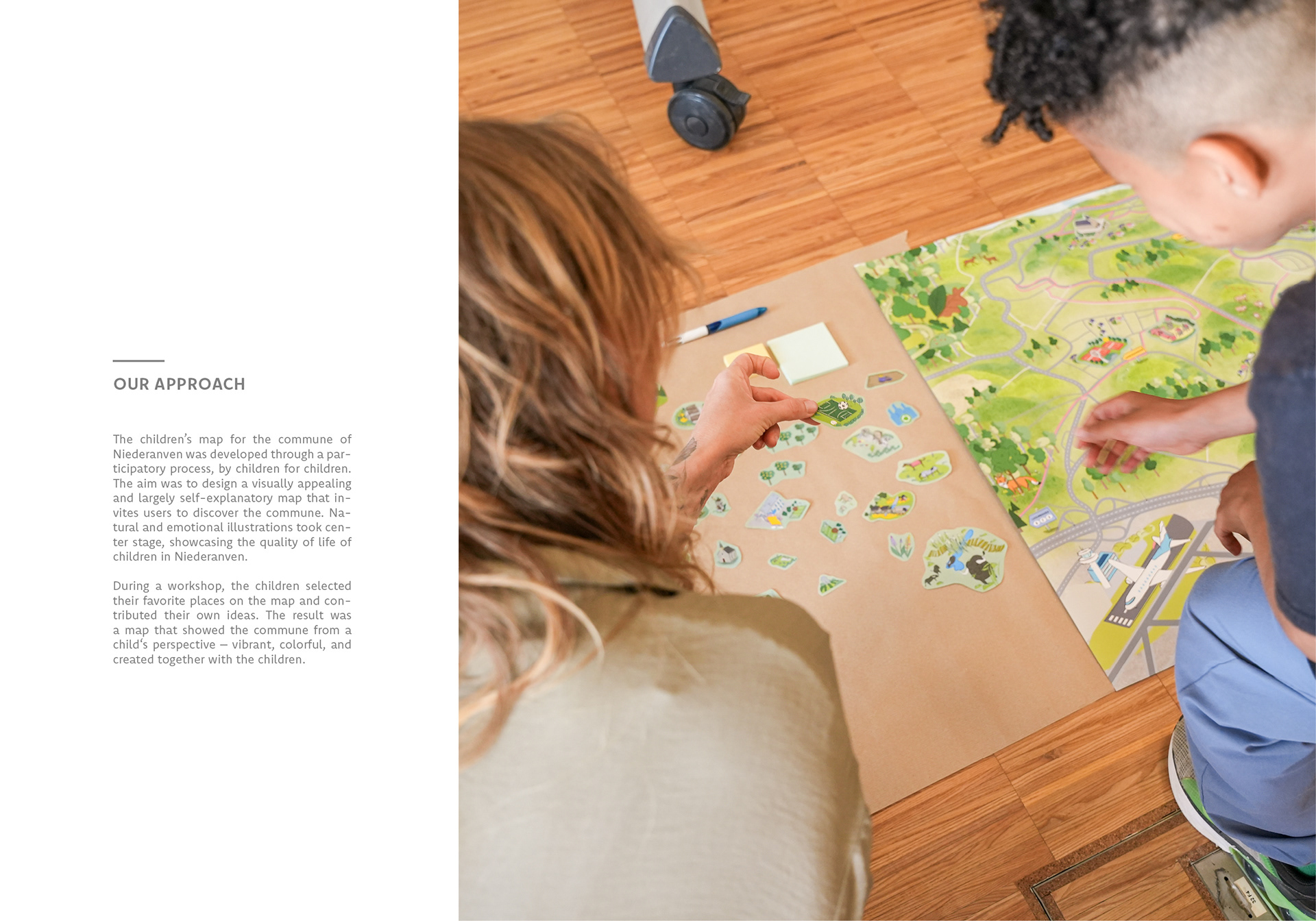
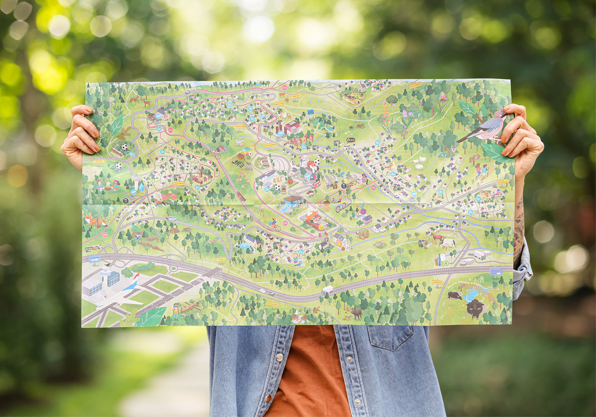
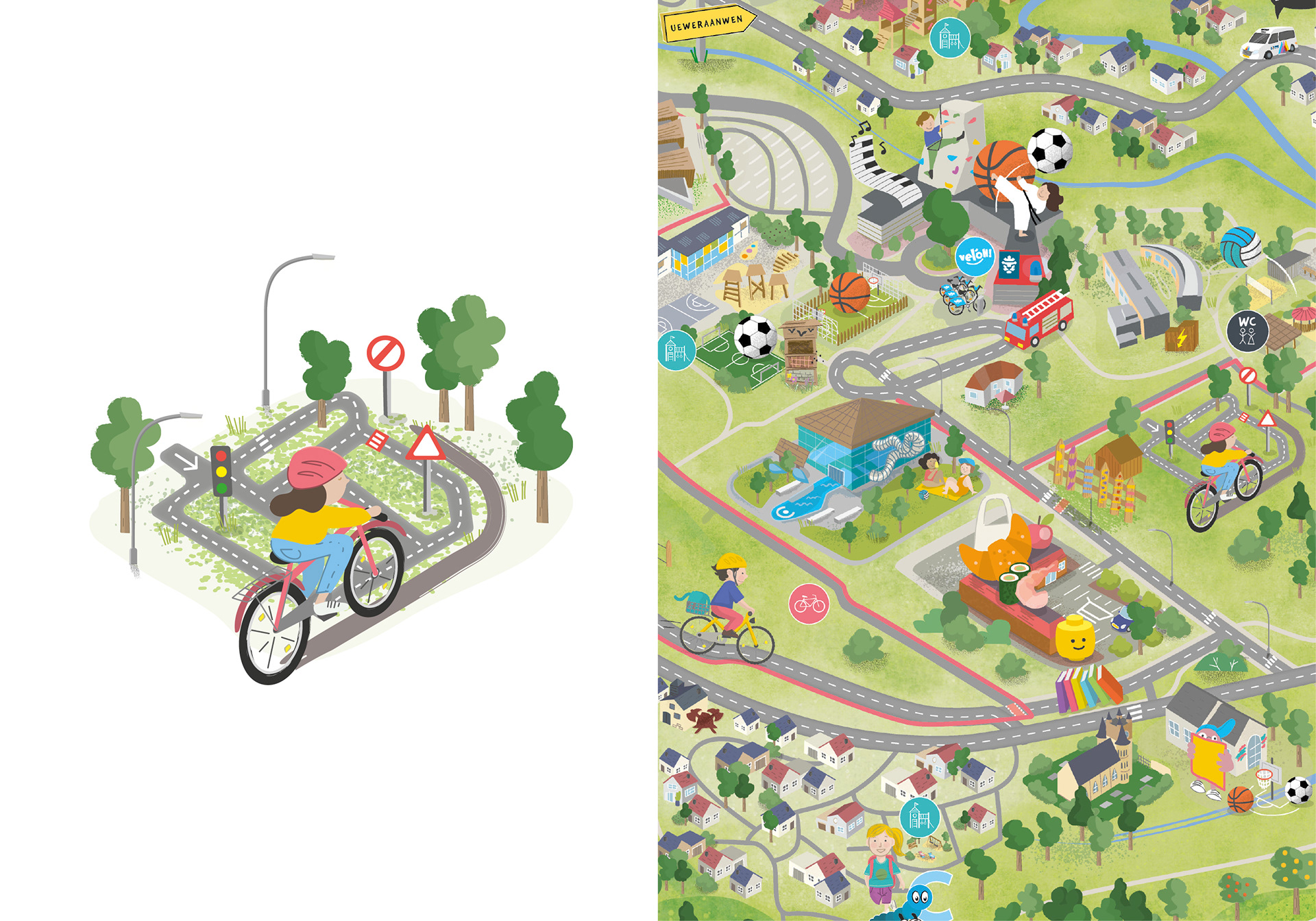
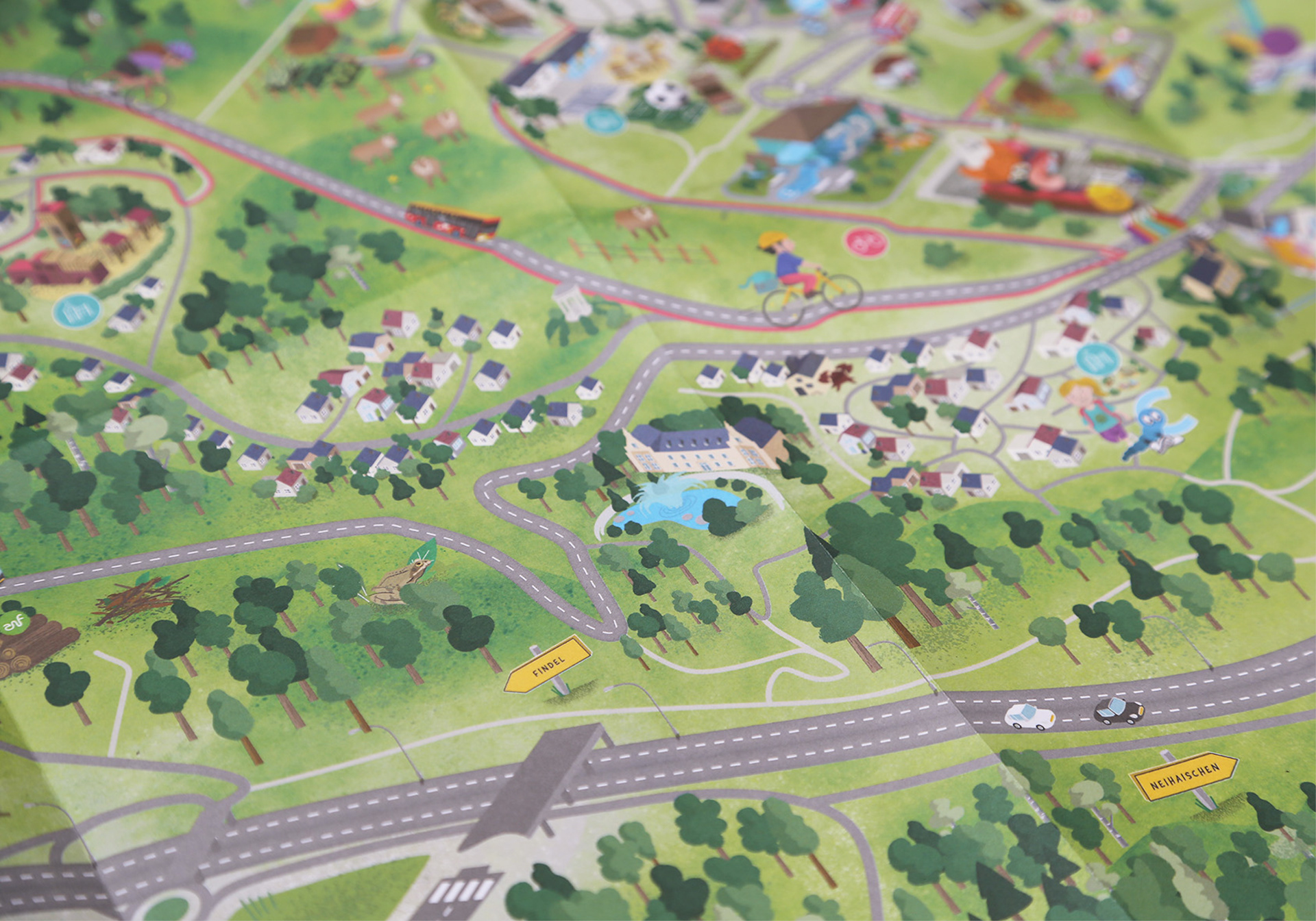
Together with children from Niederanven, we were able to discover their home town and design a map based on their ideas, which includes all the places in the municipality that are important to them.
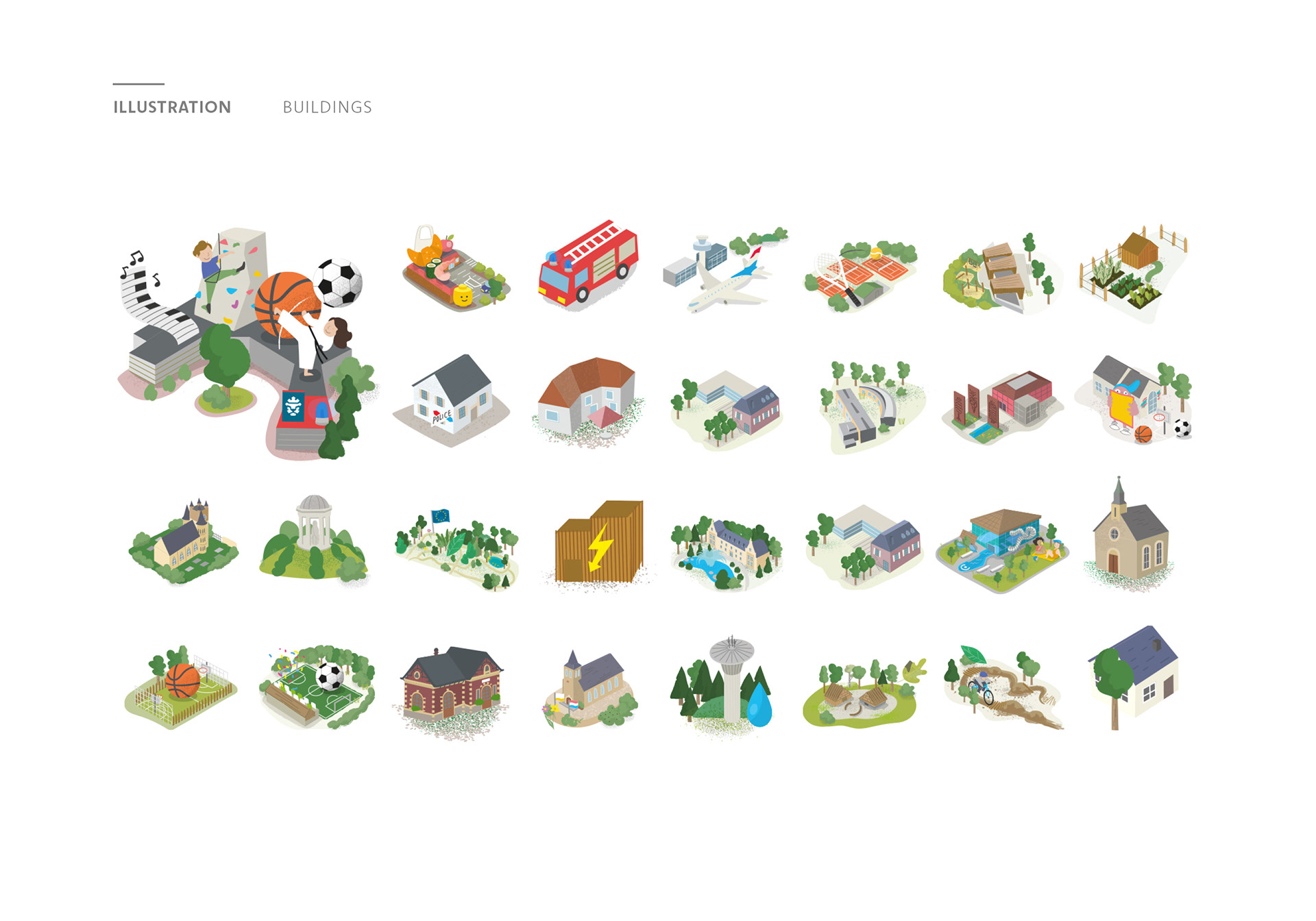
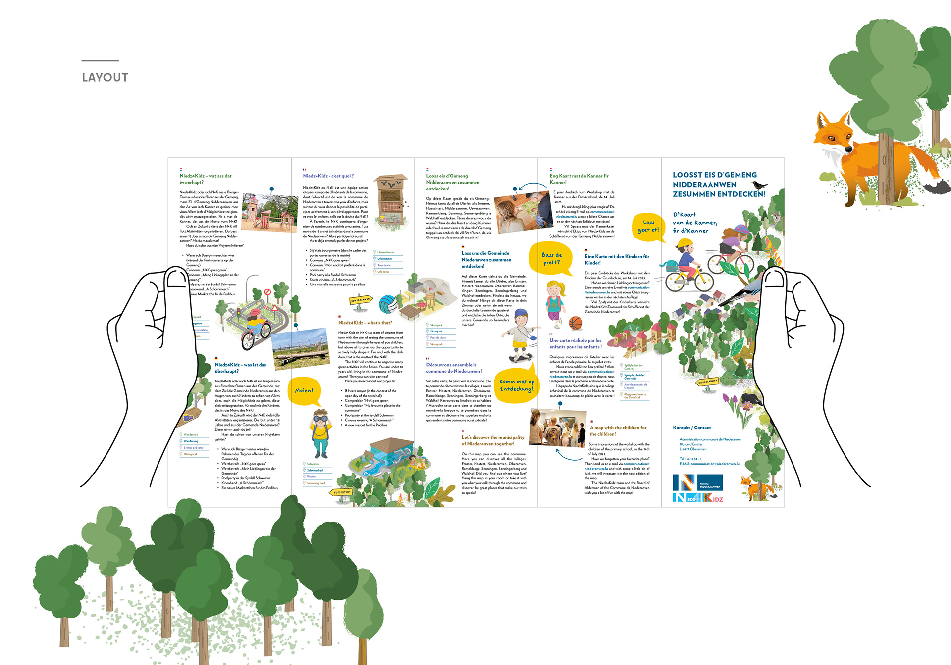
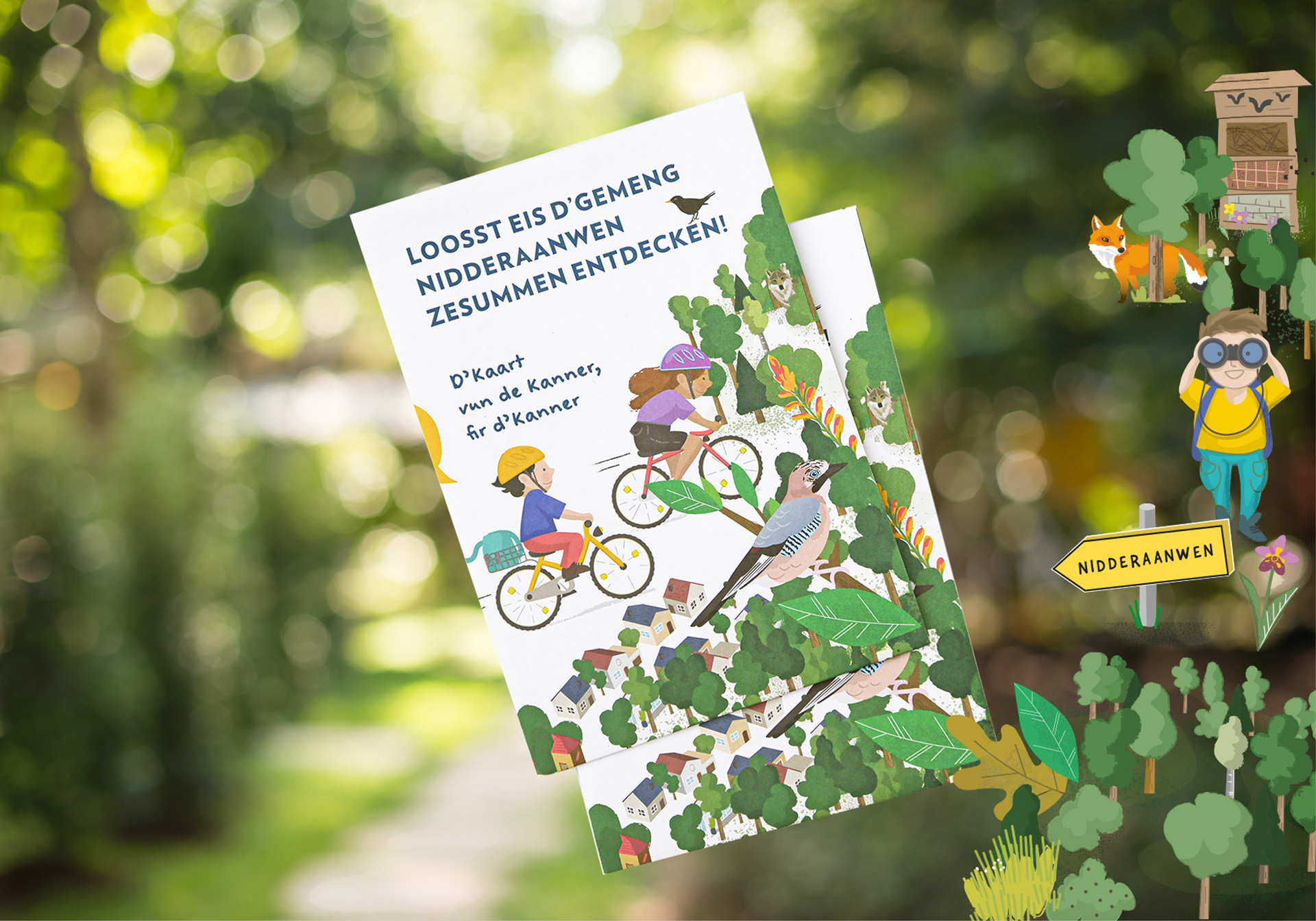
Illustration of two children riding their bikes in nature.
Sketch of a map divided into columns with format specifications
Photo of the workshop with children marking their highlights on the map
Photo of a woman holding up and presenting the community's children's map.
The color selection of the map is divided into main colors, primary colors, and secondary colors.
The illustration shows various children: a boy riding a skateboard, a boy and girl riding bicycles, a girl holding her skateboard, a boy looking through his binoculars, a girl smiling, two girls sitting around a campfire.
The image shows the color selection for nature. The color palette ranges from brown to green to blue and gray.
The illustrations show various animals: sheep, birds, wild boars, woodpeckers, hares, cows, wolves, horses, calves, deer, foxes, frogs, donkeys, and hedgehogs.
The photo shows a section of the children's map for Niederanven.
The image shows the font selection for the children's map for Niederanven. On the right, it shows a layout excerpt from the children's map for Niederanven. Around the text is an illustration of the Niederanven skate park and an illustration of a girl and boy talking to each other via speech bubbles.
The illustration shows various buildings in Niederanven.
The image shows a section of the layout for the children's map of Niederanven. It features an illustration of a boy looking through binoculars and saying “Moien!” Text can be seen around the edge.
The image shows the back of the children's map for Niederanven. The back is the layout page and contains text in various languages: Luxembourgish, German, French, and English.
The picture shows the folded children's map of Niederanven. The cover features an illustration of two children riding their bikes in the countryside.
Back to Top